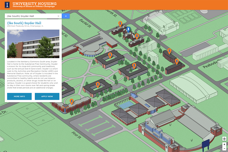
Housing Locations Map
Locations Map is a fun, interactive feature that gives a sense of position for University Housing resident halls. This is most helpful when perspective students are in the process of determining where they will live while at the university. I spent a lot of time making sure the UI was polished and interactivity worked seamlessly. Map art provided by Greg Maxson.
Role: Combined and manipulated base Illustrator map file, including the addition of ground and building textures. Worked in Photoshop to incorporated non-university buildings into the map with a muli-layered ghosting effect to help create a senes of direction. Rasterized and exported final map image in preparation for image tiling. Used the GDAL software to tile base map for use with Leaflet mapping framework at several zoom levels. Created necessary front-end code and styles, including the javascript to interact with Leaflet and the building selector menu.
